Much-needed rain will fall over parts of South Australia on Wednesday and Thursday, with many areas likely to see their highest totals since summer.

A combination of a surface low-pressure system and very cold upper-level temperatures will cause scattered showers and isolated thunderstorms. They will first affect the West Coast and Lower Eyre Peninsula on Wednesday morning before spreading east, reaching Adelaide by the afternoon and the southeast of the state by the evening and persisting into Thursday.
Widespread totals of 10-20mm are likely. However, some areas will see up to 30-50mm totals, particularly along the Adelaide Hills and Mount Lofty Ranges. This would be the most rain since January and even December for many areas, with prolonged dry conditions affecting the southern half of the state since a wet start to summer. In fact, large parts of the southern half of the state just experienced their driest February to June period on record.
Southern agricultural areas, in particular, saw considerably lower rainfall, with some regions recording their driest autumns since records began in 1900. The state's overall rainfall for autumn was 28% below the 1961–1990 average, making it the driest autumn since 2019. In stark contrast, the far north-east and far north-west regions experienced unusually high rainfall, with totals exceeding 25mm above average.

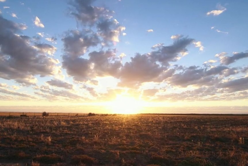
South Australia's historic dry start to 2024 pushes farmers into serious and severe rainfall deficiency (Source: ABC News)
For the agricultural sector, the inconsistent Autumn rainfall and temperatures affected crop yields and water supply. Meanwhile, the variable conditions underscore the challenges in managing natural disasters such as bushfires and floods. The complexity of South Australia's weather patterns continues to pose significant challenges to both the community and authorities tasked with managing these impacts.
Isolated to scattered 'cold air' thunderstorms are also expected, particularly on Wednesday. The very cold upper-level temperatures bring the risk of localised gusty winds, heavy rain, and small hail. If the coldest part of the airmass tracks over the Mount Lofty Ranges, a few snow flurries cannot be ruled out within heavier showers on Thursday morning. Strong winds are also possible in exposed coastal and elevated parts of the state's southeast on Thursday.
A large high will cause conditions to rapidly ease on Friday.